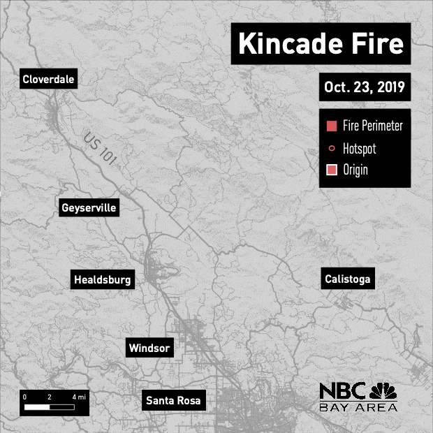
This map uses satellite data from NASA and USGS to show how the Kincade Fire grew from Oct. 23 to Oct. 31.
Map: Sean Myers/NBC Bay Area
This map uses satellite data from NASA and USGS to show how the Kincade Fire grew from Oct. 23 to Oct. 31.
Map: Sean Myers/NBC Bay Area